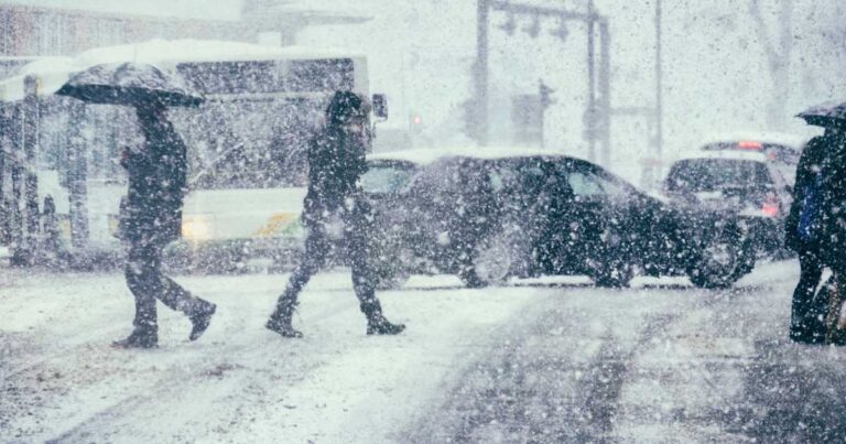
As Thanksgiving festivities wrap up across the United States, a Plains-to-Great Lakes winter storm is sweeping in, putting 14 million people under winter weather alerts. This chilly weather front is a stark reminder that, amid growing concerns about climate change, the seasons still bring traditional winter conditions to many regions.
14 Million People Under Winter Weather Alerts as Cold and Snow Greet Post-Thanksgiving Travelers
For over 11 years, SafeWise experts have conducted independent research and testing to create unbiased, human reviews. Learn how we test and review.

Image: gremlin, iStock
Icy blast sweeps across the nation
From the Texas Panhandle to the Great Lakes and the East Coast, below-normal temperatures are expected to prevail. The seasonal west-to-east upper-level low-pressure system is bringing rain and, in some areas, up to half a foot of snow, as per federal forecasters. According to NBC News, temperatures could plummet 5 to 30 degrees below normal.
This winter front is arriving just as post-pandemic air travel is booming, with a record-breaking 2.9 million people expected to fly home on Sunday following Thanksgiving. Scott Keyes, founder of going.com, a platform for alerting travelers to discounted flights, has remarked that Sunday's weather may be "perhaps the biggest test in air travel history" for U.S. carriers.
A cold reality amid climate concerns
For many who experienced scorching heat just last month, this sudden cold snap may come as a surprise. It marks the fifth consecutive month of record-high global temperatures measured above a preindustrial average. While concerns about climate change are undoubtedly valid, it's essential to remember that natural weather variations like this winter storm are still part of our planet's climate system.
Holiday weekend weather effects
The effects of this holiday weekend weather include traditional November elements, such as lake-effect snow in the Great Lakes region and rain along the mid-Atlantic coast, as reported by federal forecasters.
On Saturday, the winter storm already gave parts of the West a taste of winter, with a freeze warning in effect for the Las Vegas Valley and snow spotted on a Santa Fe, New Mexico, freeway. According to the National Weather Service, Wichita, Kansas, was expected to receive up to 4 inches of snow, with minor accumulations in Kansas City, Missouri, into Saturday evening. Some parts of the state could even see up to 8 inches of snow and experience bitter winds reaching 40 mph.
Cold air from the north fills the atmosphere behind the system, leading to snowfall in parts of Michigan, Ohio, Pennsylvania, and New York state, as forecasted by the weather service. The system is forecast to reach the Northeast by Tuesday. Still, its behavior along the East Coast may lead to warmer temperatures, allowing precipitation to fall as rain, as mentioned in a nationwide forecast discussion by the NWS.
Winter storm warning criteria revamped by National Weather Service
In addition to the winter weather conditions, the National Weather Service has significantly changed the criteria for Winter Storm Warnings across the country. They have released a new map that will serve as the basis for issuing winter storm watches and warnings throughout the U.S.
Previously, the criteria for issuing these watches and warnings were determined individually by each of the 122 NWS offices for their respective jurisdictions, which typically covered between 10 and 20 counties. Under the new criteria, all local NWS offices will follow thresholds assigned to them by the main NWS office, simplifying the process.
The new "Winter Storm Warning Criteria" map assigns color-coded snowfall thresholds based on county or geography. For example, Knox County in East Tennessee requires 3 inches of snowfall for a Winter Storm Warning, while the often-snowy Wasatch Mountains in northern Utah have a higher threshold of 18 inches.
These changes aim to streamline and standardize the issuing of winter storm watches and warnings, ensuring that alerts are consistent and easy to understand nationwide.
As this winter storm unfolds, travelers and residents in affected areas need to stay updated on weather alerts and take necessary precautions to stay safe in the face of wintry conditions. Whether you're traveling or staying put, keeping an eye on the forecast can help you plan accordingly and ensure a smooth transition into the winter season.
Related articles on SafeWise
Recent Articles


